
Monitoring solar farms with the Agras T100 at high altitude
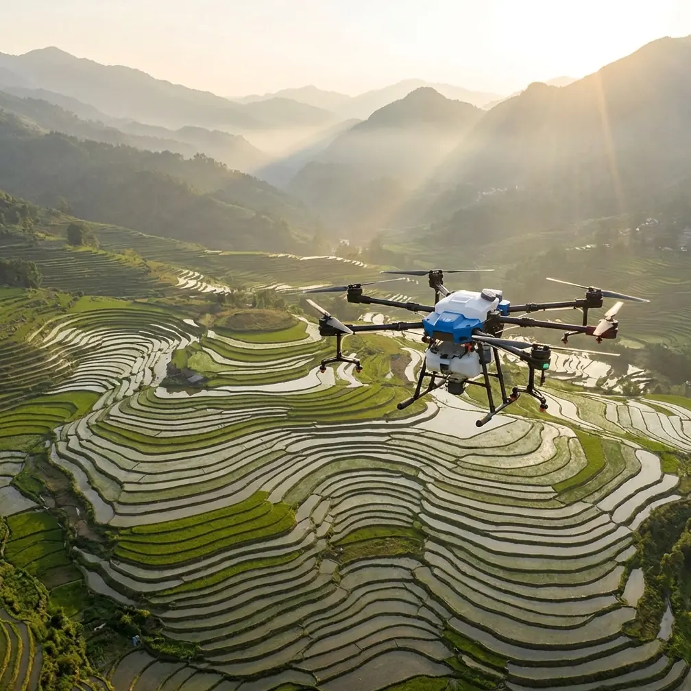
Monitoring solar farms with the Agras T100 at high altitude: why return logic matters more than raw flight specs
META: A field-focused look at using the Agras T100 for high-altitude solar farm monitoring, with practical insight on return-to-home logic, route recovery, RTK reliability, weather risk, and obstacle-aware operations.
High-altitude solar sites have a way of exposing weak assumptions.
On paper, a drone mission over a solar farm sounds straightforward: long rows, repeatable geometry, predictable patrol lanes. Then the mountain weather turns in minutes. Wind comes over a ridge from the wrong direction. Light snow starts to move sideways across the array. Signal quality drops at the far end of the site. The pilot still has video, but the camera view only shows what is directly ahead. That is the real operating picture, and it is exactly where a platform like the Agras T100 needs to be judged.
For this kind of work, the most valuable capability is not top speed or even payload class. It is controlled recovery when conditions stop behaving.
That point is easy to miss if you only think about solar monitoring as a camera task. In reality, a high-altitude inspection flight is a continuity task. You are trying to maintain coverage of roads, fence lines, inverter pads, drainage channels, snow accumulation zones, and panel blocks while the aircraft is often beyond comfortable visual awareness. The reference material behind this discussion makes a blunt observation: in beyond-visual-line operations, the ground operator frequently relies on the drone’s real-time feed, and that view is inherently limited. You see the forward scene, not the full airspace picture. Operationally, that means a “good” inspection drone is one that can make a sound decision when the operator cannot see everything.
That is why return behavior should sit near the top of any Agras T100 evaluation for solar farms in high terrain.
The high-altitude solar problem is not only inspection. It is interruption.
Mountain solar installations create three recurring issues for drone teams.
First, communications are less forgiving. Terrain shielding, long fence lines, service roads dropping behind berms, and metal-rich infrastructure can combine into brief or persistent signal disruption. Second, weather deterioration is rarely gradual. A site can go from manageable to unsafe because of gusts, sleet, or low cloud in a very short window. Third, visual interpretation is constrained even when the aircraft is sending a clean feed. The pilot sees the aircraft’s viewpoint, not the whole hazard envelope.
The source material describes this clearly through the logic of automatic return. A ground station can periodically send status messages to the aircraft; if the drone does not receive that signal within a defined time, it can classify the situation as link loss and execute a preplanned return procedure. That may sound basic, but on a high-altitude solar farm it becomes a core risk-control mechanism. It means the aircraft is not waiting for a human to guess whether the link will recover. It is evaluating a timeout condition and acting.
This matters because solar farm monitoring often pushes crews into repetitive route work over broad areas. You may be checking perimeter washouts after runoff, surveying soiling patterns, or confirming whether a maintenance closure has left a block inaccessible. When flights become routine, people tend to over-credit stable conditions. The T100 should be configured and flown as if interruption is normal, because at elevation, it is.
Why original-route return can be smarter than direct return over a solar site
One of the most useful details in the reference set is that a drone can return in more than one way. It may either retrace the original flight path or climb to a preset return altitude and then navigate back to the takeoff point by GPS coordinates.
That distinction is not academic. It changes how you should think about the Agras T100 in solar applications.
A direct GPS return is efficient, but efficiency is not always the safest answer at a mountain installation. Solar farms are full of repeating obstacles: tracker rows, combiner stations, poles, weather instruments, cable overpasses, temporary service vehicles, and occasionally construction equipment parked where it was not supposed to be. Add uneven ground and ridgeline turbulence, and a straight-line return can force the aircraft into a part of the site it did not traverse on the outbound leg.
By contrast, original-route return has a practical advantage in structured environments. If the outbound leg was selected because it threaded safely through a known corridor, retracing it can reduce surprise. The reference example uses a river patrol scenario where a drone follows a narrow, curved route and returns along the same path when a sudden event occurs. Replace the river with a high-altitude solar access corridor and the operational lesson holds. Narrow spaces reward known geometry.
This is especially relevant when your T100 mission includes recurring patrol of drainage channels near the array. Those channels can be deceptively tight and visually repetitive from the air. The source river case explains that curved ground features were measured and divided into three route segments, with specific turns including 70 degrees clockwise, 65 degrees clockwise, and 75 degrees counterclockwise. The larger point is not the exact educational setup. It is that path fidelity matters when the corridor bends and hazards are distributed unevenly. On a solar farm, a return path built from segmented waypoints can be safer than a generic “come home” command.
If your team is using RTK for centimeter precision, this becomes even more meaningful. A strong RTK fix rate supports repeatability across missions, which helps when you want the aircraft to monitor the same lane, the same drainage edge, or the same snow shadow line day after day. Precision is not just about map cleanliness. It underpins confidence in route recovery.
Sensor success stories are only useful if the aircraft can actually get home
Everyone likes to talk about what the drone detected. Fewer people talk about what happened after.
On one alpine solar site, a morning patrol over the southern perimeter picked up movement near a rocky service track. The animal turned out to be a mountain fox moving between scrub patches just outside the fence line. The aircraft’s sensors and route logic allowed the pilot to avoid drifting lower into the area, hold the inspection line, and continue without creating unnecessary disturbance. That sounds like a small victory, but it is a good example of what competent monitoring looks like: maintain the mission, preserve stand-off, avoid impulsive maneuvering.
The lesson is not wildlife for wildlife’s sake. It is that unexpected encounters tend to happen at the edges of concentration. A pilot notices the animal, glances at terrain, checks battery, watches wind, and briefly shifts mental bandwidth away from the larger route picture. That is exactly when robust return logic earns its keep. If conditions worsen right after that moment, the aircraft should not need improvisation.
The reference source also notes several triggers for automatic return beyond simple disconnection: low battery, loss of control direction, and difficult environmental conditions such as strong wind, rain, or other adverse natural factors. For high-altitude solar work, this is the correct hierarchy. The safe mission is not the one that squeezes every remaining minute from the pack. The safe mission is the one that recognizes deteriorating conditions early enough to preserve a clear return margin.
What this means for an Agras T100 inspection setup
The T100 is often discussed in relation to agricultural workflows, which naturally brings in terms like spray drift, swath width, and nozzle calibration. For solar farm monitoring, those ideas still matter indirectly because they point to a broader truth: the platform has to be tuned for environmental discipline, not merely flown.
Take spray drift as an analogy. In crop work, drift control is about understanding how air movement changes where material actually goes. In solar monitoring, the equivalent mindset is route drift awareness. Crosswind at altitude can push the aircraft off the lane you thought you were holding, especially when flying long rows or perimeter roads. A pilot who thinks in terms of drift will notice route deviation earlier and set more conservative return thresholds.
The same goes for nozzle calibration as a concept. Here, we are not calibrating liquid output for a solar mission, but we are talking about the same professional habit: validate the system before trusting the mission result. On a T100 inspection program, that means checking waypoint logic, return altitude appropriateness, sensor status, and RTK behavior before the aircraft is halfway across a site with mountain weather rolling in.
An IPX6K-class durability mindset is also relevant at exposed installations. Solar farms at elevation are hard on equipment. Fine dust, sleet, meltwater splash, and abrupt temperature swings punish seals and surfaces. Weather resistance does not remove risk, but it does expand the envelope in which the platform can complete a safe return rather than becoming vulnerable during a minor weather turn.
Multispectral capability can also be part of the discussion, though not as a gimmick. At some sites, operators want to correlate vegetation encroachment, drainage changes, or ground-cover stress around panel fields and retention channels. If your workflow includes multispectral data collection in addition to visual patrols, route repeatability becomes even more critical. Data is only comparable if the aircraft can fly nearly the same geometry from one mission to the next.
The operational sequence that separates smooth days from bad ones
The source material contains a useful engineering idea that deserves more attention: periodic confirmation between the ground side and the aircraft. If the aircraft stops receiving those expected messages within the specified time, it interprets that as a loss-of-link condition and begins its return procedure.
For a high-altitude T100 mission, that should shape how teams design their standard operating rhythm.
- Build the route around known-safe corridors, not just shortest paths.
- Decide in advance when original-route return is preferable to straight GPS return.
- Set a return altitude that actually reflects ridge, pole, and equipment hazards.
- Treat battery reserve as a weather buffer, not a mathematical leftover.
- Use RTK repeatability to make each patrol more predictable than the last.
This is where many otherwise capable drone programs fall short. They buy precision and then operate casually. But the deeper value of a platform like the Agras T100 on a mountain solar site is disciplined automation. When something breaks in the chain—signal, weather, visibility, or pilot certainty—the aircraft should move into a known recovery behavior without drama.
If you are comparing route design options for your own site, this field contact can help you think through return profiles and corridor planning for unusual terrain: message Marcus Rodriguez directly.
The real benchmark for Agras T100 solar monitoring
For high-altitude solar work, a drone does not prove itself when the day is calm and the rows are easy to read.
It proves itself when the site gets complicated. When the live view is too narrow to tell the full story. When battery planning intersects with wind. When the terrain interferes with link stability. When the aircraft must decide whether to retrace a safe path or climb and return by coordinate logic. When a sudden distraction—a fox near the track, a maintenance vehicle out of place, fresh runoff where there should be none—competes for attention.
The reference data may come from an educational context, but the operating lesson is serious and immediately relevant to the Agras T100. Automatic return is not a backup feature. In high-altitude solar monitoring, it is part of the mission design itself. And original-route return is not old-fashioned. In narrow, obstacle-rich, visually repetitive environments, it can be the cleaner answer.
That is how to think about the T100 here: not simply as an aircraft that can cover a solar farm, but as one that can leave the pilot with fewer bad choices when the mountain starts making decisions of its own.
Ready for your own Agras T100? Contact our team for expert consultation.