
Agras T100 Scouting Highways in Coastal Conditions
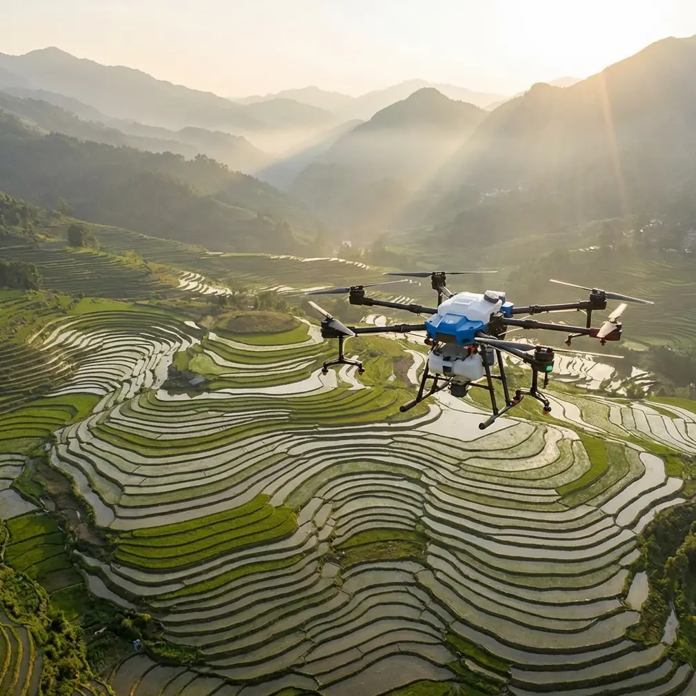
Agras T100 Scouting Highways in Coastal Conditions: The Altitude Decisions That Actually Matter
META: A field-focused look at using the Agras T100 for coastal highway scouting, with practical insight on flight altitude, positioning logic, drift awareness, and precision workflow design.
Coastal highway scouting sounds straightforward until the environment starts making decisions for you.
Salt-laden crosswinds, reflective road surfaces, embankments, drainage channels, utility corridors, and intermittent GNSS interference can turn a routine mission into a patchwork of compromises. That is exactly why the Agras T100 deserves to be discussed as a precision workflow platform rather than just another UAV in an agriculture label. For operators adapting it to highway-side scouting and corridor assessment, the real question is not whether it can fly the route. The real question is how to hold repeatable positioning and stable observation quality when the corridor is narrow, windy, and operationally messy.
I want to focus on one issue that determines almost everything else in this scenario: flight altitude.
The wrong altitude creates blind spots, weak RTK fix consistency, unstable swath planning, and poor repeatability around shoulders, median edges, and drainage structures. The right altitude, by contrast, improves scouting efficiency without pushing the aircraft into unnecessary exposure to gusts coming off the coast or turbulence rolling over barriers and cut slopes.
Why coastal highway scouting is a special case for the T100
Highway work is not open-field work. Even when a mission borrows methods from agricultural operations, the geometry is very different.
A crop block is broad and forgiving. A highway corridor is linear, interrupted, and full of edge effects. On one side you may have guardrails and signage. On the other, a ditch, maintenance lane, or vegetation band. In coastal regions, wind behavior compounds this. Airflow can shift rapidly as it passes over sea walls, bridges, sound barriers, and low rises. That means a flight height that looks efficient on paper may increase lateral movement in practice.
This is where concepts like centimeter precision and RTK fix rate stop being marketing shorthand and become operational necessities. If the aircraft cannot maintain a stable and repeatable path over a corridor, every downstream task suffers. You lose confidence in image overlap, in event marking, and in comparative scouting from one mission date to the next.
For the Agras T100, an operator scouting highways should think in terms of controlled corridor geometry first, payload role second.
The best altitude is usually lower than new operators expect
In coastal highway scouting, the optimal flight altitude is often a moderate low-altitude envelope rather than a high broad-coverage pass.
Why? Because the mission is about detail, repeatability, and resistance to drift.
When altitude climbs too much, crosswind influence grows, especially near open coastal sections and elevated roadway segments. If you are using the T100 to evaluate roadside vegetation stress, drainage patterns, erosion onset, shoulder encroachment, or maintenance anomalies, that extra height may widen the observed area but dilute the value of each pass. A larger swath width is not always an advantage when the corridor itself is narrow and the target features are close to the pavement edge.
A practical approach is to begin with an altitude that preserves corridor-level detail while keeping the aircraft below the strongest, least predictable wind layer. The exact number depends on local regulations, terrain relief, roadside obstacles, and sensor configuration, but the principle is stable: fly only as high as needed to safely maintain line quality and target context.
That matters even more in coastal work because wind-driven positional deviation can mimic the same kind of “overshoot then correct” behavior seen in educational drone programming exercises. One technical reference from DJI’s TT education materials describes a jump path where the aircraft first moves to the coordinate (80, 0, 100) relative to one marker, then reorients and proceeds to the next marker overhead before landing. On the surface, that example belongs to a training environment. In practice, it teaches a valuable lesson for the T100: route segments are only as reliable as the frame of reference behind them.
For highway scouting, your frame of reference is not a classroom challenge card. It is the corridor centerline, roadside edge, and RTK-corrected mission geometry. The significance is operational: if your altitude is too high, small lateral errors become visually and analytically larger across a narrow corridor. If your altitude is controlled and your route logic is anchored to a stable reference, the mission becomes much easier to repeat.
What a training drone lesson reveals about professional corridor flying
That same training document contains another detail worth borrowing. It notes that if a challenge card is not recognized, the system returns “-2”, while map-based flight can return “11” or “12.” Again, this sounds like a classroom coding detail. But the operational takeaway is surprisingly relevant for T100 highway scouting.
Scouting quality depends on knowing what reference mode you are actually flying in.
If visual references are weak, if roadside features are repetitive, or if environmental clutter makes interpretation harder, your mission should lean on robust positioning and preplanned path structure rather than operator intuition alone. In coastal corridors, where surfaces and backgrounds can look similar over long stretches, ambiguity is the enemy. The T100 operator should build a workflow that clearly distinguishes between confirmed positioning states and uncertain ones.
That is where RTK fix rate becomes central. When RTK is stable, corridor passes can be repeated with near-identical geometry. That supports trend analysis over time: recurring pooling near culverts, gradual vegetation intrusion, or shifts in shoulder condition after storms. When RTK degrades, altitude discipline becomes even more important, because lower, tighter missions can sometimes preserve interpretability better than higher, more exposed ones.
Coastal wind changes the meaning of spray drift—even when you are scouting
The T100 is associated with agricultural operations, so terms like spray drift and nozzle calibration naturally belong to that ecosystem. Yet both ideas matter in a scouting article too.
Spray drift is fundamentally about off-target movement caused by environmental conditions. Coastal scouting has an equivalent problem: observation drift. The aircraft may remain airborne and complete the route, but if wind pushes the platform off the intended corridor line, the data collection footprint shifts away from where it should be. That can distort repeat inspections, especially when monitoring roadside vegetation bands or narrow service strips.
Nozzle calibration offers a second analogy. In application work, calibration determines whether output matches intent. In scouting, the equivalent is sensor and route calibration. Is the T100 flying at a height where the sensor footprint fits the highway asset you care about? Is the overlap sufficient? Is the path offset from traffic, barriers, and poles while still close enough to capture deterioration or encroachment?
These are not abstract planning questions. They define whether the mission serves maintenance teams or merely produces attractive but operationally thin imagery.
Why AI wildfire drone competition matters to T100 operators
At first glance, a 2026 XPRIZE wildfire finals story about student teams and AI-enabled drones might seem unrelated to a highway scouting mission. I think it is highly relevant.
The competition brought student teams into finals alongside professional firefighters and first responders, all focused on the global wildfire threat through advanced drone systems. The operational significance is not the competition itself. It is the direction of the industry.
AI-enabled aerial workflows are no longer reserved for elite specialist teams. They are becoming normal in field operations where speed, recognition, and route adaptation matter. For Agras T100 users, especially those working in infrastructure-adjacent environments like highways, this points toward a near-future workflow where the aircraft is not just following a line. It is helping prioritize anomalies: stressed vegetation near crash barriers, debris patterns after coastal storms, pooling signatures, or unusual edge growth that may require maintenance.
That trend changes how we should think about altitude. If AI-assisted review or onboard detection is part of the workflow, then flying too high can reduce signal quality for small but meaningful features. The T100 should be flown at an altitude that balances corridor coverage with enough spatial detail for reliable interpretation. In coastal scouting, “more area” often means “less certainty.”
A practical altitude framework for coastal highway scouting
Instead of chasing a single universal height, use this three-part framework.
1. Start with the corridor, not the aircraft
Define the actual target band. Is it the pavement edge, roadside vegetation strip, drainage ditch, embankment face, or all of them together? A highway corridor may look like one asset from above, but operationally it contains several zones with different inspection needs.
If the target is narrow, lower altitude usually wins. It reduces the chance of wasting image area on irrelevant surroundings and can improve consistency in windy conditions.
2. Match swath width to the decision you need to make
Swath width is useful only when it aligns with the scouting objective. A wider pass may reduce flight count, but it can also lower interpretive value if roadside defects become too small or if edge zones are captured at oblique, less useful angles.
For coastal highways, I favor a conservative swath plan over aggressive wide passes. That means accepting more route segments if the reward is cleaner, more repeatable observation of the actual maintenance zone.
3. Keep enough altitude reserve for obstacle safety, but not enough to invite unnecessary wind exposure
Road signs, lighting poles, utility crossings, and overpasses all argue against flying too low. But coastal wind layers argue against climbing without reason. The sweet spot is the lowest safe altitude that preserves route continuity, clearance, and data quality.
This is one area where a structured mission design discussion is worth having before field deployment; if you need a direct planning conversation, this corridor scouting chat line is a simple place to start.
Durability matters more near the coast
The T100’s relevance to coastal work is not only about route accuracy. Environmental resilience matters too.
Coastal scouting exposes equipment to moisture, airborne salt, and grime from roadway runoff. A platform with IPX6K protection is better aligned with that reality than a lightly protected aircraft expected to operate only in gentle inland conditions. That does not eliminate maintenance needs, but it changes operational confidence. Near the coast, weather resistance is not a convenience feature. It directly affects uptime, scheduling flexibility, and post-mission cleaning demands.
For organizations trying to build repeat inspection windows around narrow weather gaps, that resilience can be the difference between postponing a mission and completing it safely.
What about multispectral?
Multispectral capability can be useful in highway scouting when the job includes vegetation condition assessment along medians, slopes, or buffer strips. In coastal regions, salt stress, drainage imbalance, and wind exposure can create patterns that are not obvious in standard visual imagery.
But multispectral only helps if altitude supports useful ground detail. Fly too high and subtle vegetation variation along a shoulder or embankment can blur into broad tonal averages. Fly at a controlled lower altitude and the data has a better chance of revealing localized stress worth acting on. Again, altitude is not a background setting. It determines whether the payload’s output is meaningful.
The operator mindset that gets the most from the T100
The Agras T100 should not be treated as a one-button answer for highway scouting. It performs best when the operator thinks like a corridor analyst.
That means:
- building missions around repeatable references,
- protecting RTK integrity,
- resisting the temptation to over-widen the swath,
- using altitude as a control variable rather than an afterthought,
- and interpreting coastal wind as a data quality issue, not just a flight comfort issue.
The most useful lesson from the source material is that precision is always relational. In the drone training reference, movement is defined relative to a known coordinate system, and orientation changes have explicit meaning, such as a right-side 90° rotation before final positioning. In the wildfire AI competition, autonomous systems are judged by how effectively they respond to complex, real-world conditions. Put those two ideas together and you get the core principle for T100 coastal highway scouting: a smart mission is one where precise positioning logic meets a changing environment without losing operational clarity.
That is how altitude decisions should be made. Not by habit. Not by generic templates. By asking what height gives the clearest, safest, most repeatable view of the corridor you actually need to understand.
Ready for your own Agras T100? Contact our team for expert consultation.